No products in the cart.
Furlo Cesana
The territory of the Gola del Furlo and the Monti della Cesana includes two important limestone anticlines (anticline = fold that has the oldest soils at its core). That of Monte Pietralata – Monte Paganuccio to the South West (Photo 1 – 2) and that of the Monti della Cesana to the North East (Photo 3 – 4) which correspond to two ridges which constitute the most important morphological elements in this sector of the Metauro river.
These ridges belong to the outer part of the Umbrian – Marchigiano Apennines (Dorsale Marchigiana Auct.). The Furlo anticline marks, towards the North West, precisely the termination of this ridge.
The two structures were formed starting from the Upper Miocene – Pliocene as a result of a compressive stress field, with the direction of maximum compression SW – NE, which generated a folded tectonics and thrusts in eastern vergence (thrust = geological phenomenon of large dimensions, including kilometers, which cause the overlapping of rocky masses detached from the substrate, above the adjacent land; vergence = direction towards which the folds are reversed or the strata move following tectonic thrusts).
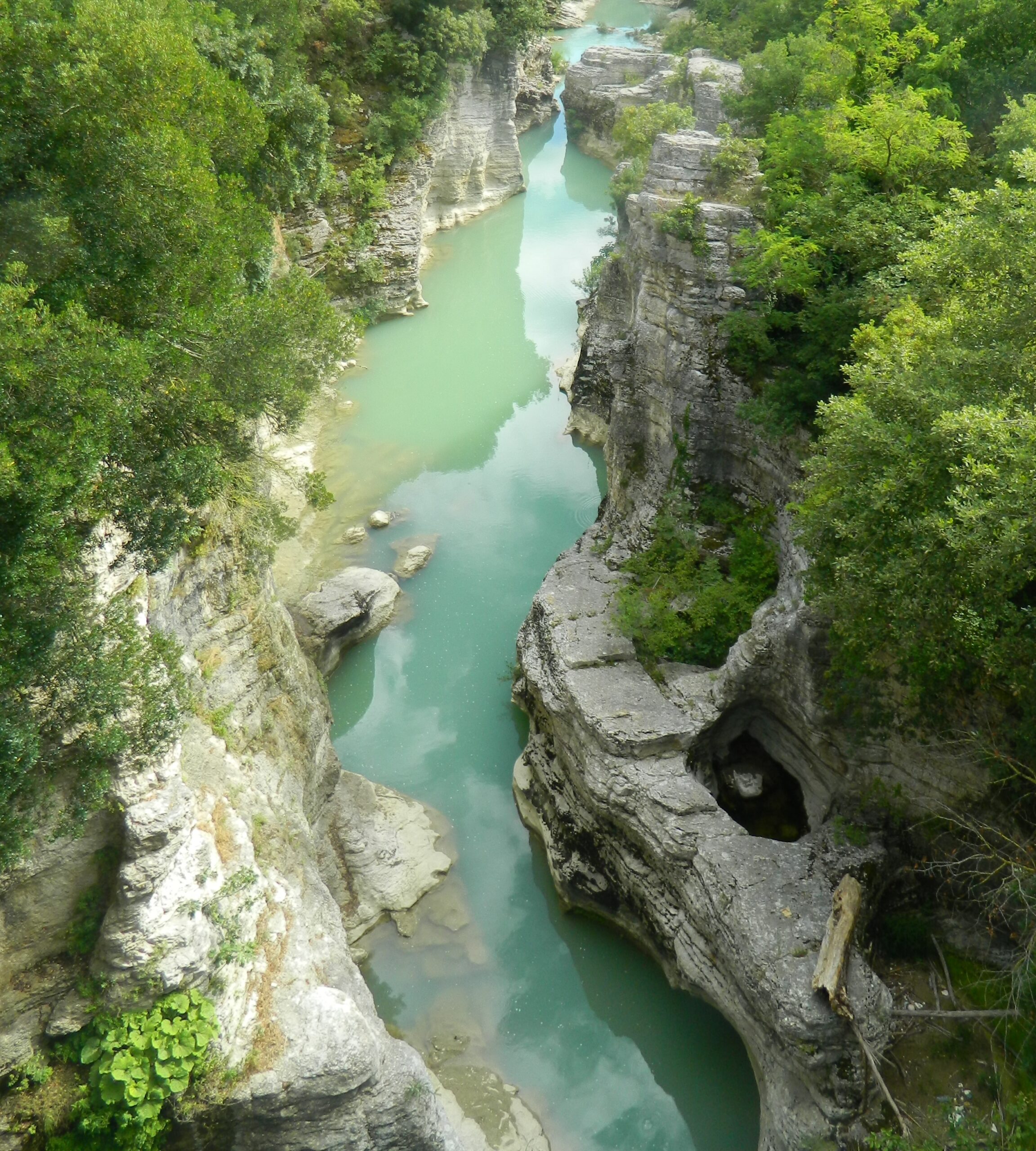
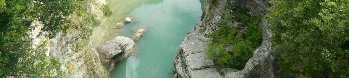
The Gola del Furlo was carved by the Candigliano river in the Monte Pietralata – Monte Paganuccio anticline, on which the oldest limestone outcrop in the whole area is found, clearly visible along the walls of the gorge.
Walking inside the gorge it is possible to observe the erosive action of the river and the marks left by it on the limestone walls. At different heights, compared to the current riverbed, cavities of different sizes called erosion niches are found, due to the incessant shaping action of the river over the millennia (Grotta del Grano). At the top of the walls you can see suspended valleys which, during the most intense rainy periods, give rise to suggestive waterfalls.
Monte Paganuccio and Monte Pietralata
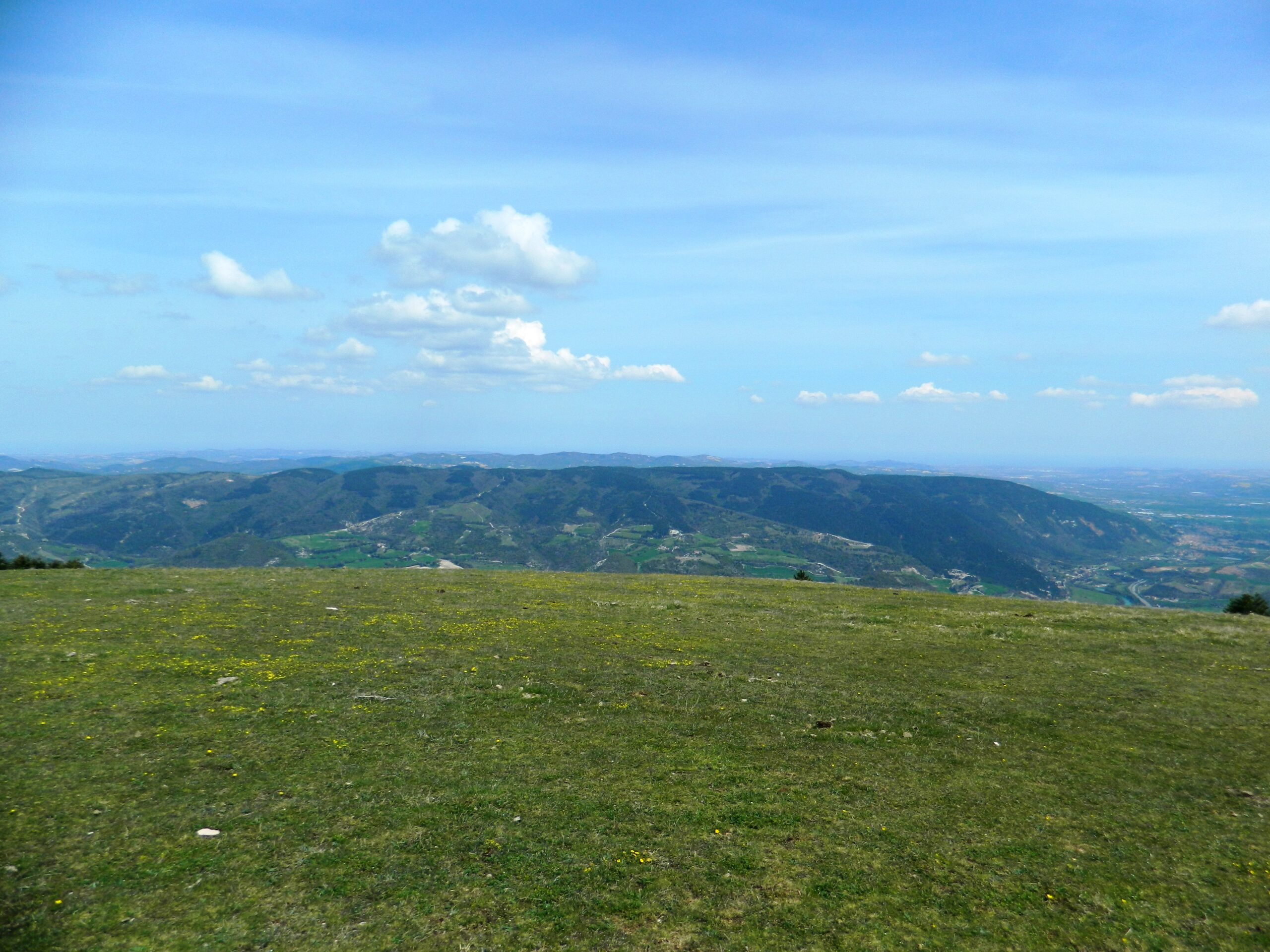
The main reliefs that form the ridge of Furlo are Monte Paganuccio (976 m.), On the hydrographic right of Candigliano, and Monte Pietralata (889 m.) To the hydrographic left. The Paganuccio side, which overlooks the gorge, is formed by two main peaks, Monte del Colle and Monte del Ferro, joined by a ridge called Cresta del Ferro. This ridge divides the Candigliano valley from the Buzzo valley, identifying one of the wildest areas of the entire area. The Pietralata has a smaller extension than the “twin" Paganuccio and slopes down the gorge with walls up to about 400 m high. Both have meadows and pastures at the top
with shrubs and woods and a small beech forest on the northside of Monte Paganuccio. Monti della Cesana
The Cesana mountains also represent a limestone anticline with orientation of the NNW – SSE axis. This structure, located NE of that of the Furlo, takes on the characteristic domed appearance with the city of Urbino at the western end, and the city of Fossombrone at the eastern end. The area is affected by both direct and reverse faults and by an extensive overthrow that pushes the soils of the Metauro river syncline east towards the western edge of the Monti delle Cesane anticline. From the geomorphological point of view, the area looks like a vast relief with a rounded top or almost flattened by erosive phenomena.